Grand Canyon Viewpoints: Complete Guide to the Best Overlooks
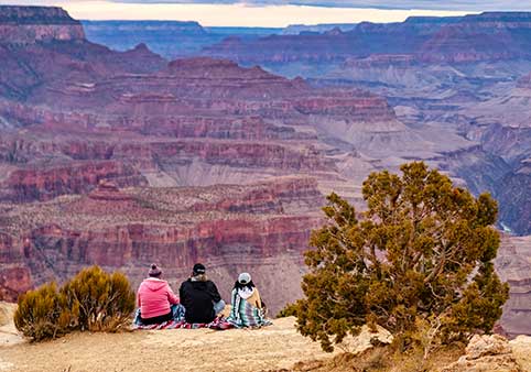
The Grand Canyon is home to dozens of spectacular viewpoints, each offering a different perspective of one of the world's greatest natural wonders. Some overlooks are famous for sunrise, others for sunset, while a few reveal rare views of the Colorado River nearly a mile below. Whether you're visiting for a few hours or several days, choosing the right viewpoints can make all the difference.
Rather than trying to stop at every overlook, most visitors enjoy the canyon more by selecting viewpoints that match their interests. Some are perfect for first-time visitors, some are ideal for photography, and others reward those looking for quieter locations away from the largest crowds.
This guide serves as TheCanyon.com's complete hub for Grand Canyon viewpoints. Use it to compare the major overlook areas, discover which viewpoints best fit your itinerary, and explore our detailed guides covering each location in depth.
If you only have one day at the South Rim, begin at Mather Point, walk to Yavapai Point, then spend the afternoon exploring either Hermit Road or Desert View Drive. You'll experience several completely different perspectives of the canyon without feeling rushed.
Find the Right Grand Canyon Viewpoint
Every visitor comes to the Grand Canyon with a different goal. Instead of reading about every overlook, start with the guide that best matches what you want to experience.
| I'm Looking For... | Start Here |
|---|---|
| The best overall viewpoints | This guide |
| Where to watch sunrise | Best Sunrise Viewpoints |
| Where to watch sunset | Best Sunset Viewpoints |
| The best photography locations | Best Photography Locations |
| The best Colorado River views | Best Colorado River Viewpoints |
| Wheelchair-accessible overlooks | Accessible Grand Canyon Viewpoints |
| Viewpoints requiring little walking | Grand Canyon Viewpoints Without Hiking |
| Planning your driving route | Grand Canyon Viewpoints Map |

Grand Canyon Viewpoints by Region
The Grand Canyon stretches more than 277 miles across northern Arizona, and its viewpoints are spread across three primary visitor areas. Each offers a distinctly different experience.
South Rim
The South Rim is the most visited section of Grand Canyon National Park and is open year-round. It offers the greatest concentration of developed viewpoints, paved walking paths, museums, visitor services and the park's free shuttle system.
Most first-time visitors spend their time in one of four areas:
- Visitor Center: Mather Point
- Grand Canyon Village: Yavapai Point and the Rim Trail
- Hermit Road: Hopi Point, Mohave Point, Pima Point and several additional overlooks
- Desert View Drive: Grandview Point, Lipan Point, Navajo Point and Desert View Watchtower
If you're visiting for a single day, you'll usually have enough time to explore two of these areas comfortably.
North Rim
The North Rim sits approximately 1,000 feet higher than the South Rim and offers a cooler, quieter and more forested experience. Because it receives significantly fewer visitors, many travelers appreciate its peaceful atmosphere and expansive viewpoints.
The area's signature overlooks include Point Imperial, the highest viewpoint in Grand Canyon National Park, and Cape Royal, one of the canyon's most scenic and accessible overlooks.
The North Rim is typically open from mid-May through mid-October, with exact opening and closing dates depending on weather conditions.
Grand Canyon West
Grand Canyon West is located on the Hualapai Reservation west of Grand Canyon National Park and operates independently from the National Park Service. It is the closest major Grand Canyon destination to Las Vegas and is best known for the Skywalk, Eagle Point and Guano Point.
Although the scenery differs from the national park, Grand Canyon West offers dramatic viewpoints and several experiences that cannot be found elsewhere along the canyon.
The Most Popular Grand Canyon Viewpoints
Every overlook has its own personality. Some introduce visitors to the canyon for the first time, while others reward photographers, geology enthusiasts or travelers searching for quieter places to take in the scenery. These are among the viewpoints that consistently rank as visitor favorites.
Mather Point
For millions of visitors, Mather Point is where their Grand Canyon experience begins. Located just a short walk from the Visitor Center, it delivers one of the park's most iconic panoramic views and requires very little walking. The overlook is especially beautiful at sunrise, when the first light slowly illuminates the canyon walls and reveals the immense scale of the landscape.
Why visit: Excellent first stop, accessible pathways, outstanding sunrise views and easy access from parking, shuttle stops and the Rim Trail.
Yavapai Point
Just west of Mather Point, Yavapai Point combines spectacular canyon scenery with one of the park's best educational experiences. The adjacent Yavapai Geology Museum explains how millions of years of geologic history are exposed in the canyon walls, making this an excellent stop for visitors who want to understand what they're seeing.
Why visit: Geology, panoramic views, Rim Trail access and one of the South Rim's best educational stops.
Hopi Point
Hopi Point is widely regarded as the South Rim's premier sunset viewpoint. Extending farther into the canyon than many neighboring overlooks, it provides sweeping views both east and west, allowing visitors to watch changing colors spread across countless side canyons as the sun drops below the horizon.
Because of its popularity, arriving at least 45 to 60 minutes before sunset is recommended, especially during spring, summer and holiday weekends.
Why visit: One of the best sunset viewpoints in Grand Canyon National Park.
Mohave Point
Mohave Point offers one of the South Rim's best opportunities to see the Colorado River from above. Visitors can often spot multiple sections of the river winding through Granite Gorge, along with several whitewater rapids. The overlook also provides exceptional late afternoon lighting for photography.
Why visit: Colorado River views, photography and excellent sunset alternatives.
Pima Point
Located near the western end of Hermit Road, Pima Point rewards visitors with one of the longest visible stretches of the Colorado River from the South Rim. Because many visitors stop at Hopi Point or Mohave Point, Pima often feels noticeably less crowded while offering equally impressive scenery.
On particularly calm days, visitors may even hear the distant roar of Colorado River rapids echoing from the canyon below.
Why visit: Long Colorado River views, quieter atmosphere and beautiful sunset lighting.
Grandview Point
Grandview Point lives up to its name with expansive panoramas stretching deep into the central canyon. Once the site of one of the Grand Canyon's earliest tourist destinations, it also serves as the trailhead for the historic Grandview Trail. Its elevated location creates dramatic layered views that photographers especially appreciate during the morning and late afternoon.
Why visit: Panoramic vistas, history and excellent photography opportunities.
Lipan Point
Lipan Point offers one of the South Rim's most complete views of the canyon's geology. The overlook reveals colorful rock formations, deep side canyons and one of the park's longest visible sections of the Colorado River. It is consistently recommended by photographers because of its depth, varied terrain and outstanding sunrise and sunset light.
Why visit: Geology, photography and some of the South Rim's best Colorado River views.
Desert View Watchtower
Standing at the eastern entrance to Grand Canyon National Park, the Desert View Watchtower combines spectacular scenery with one of architect Mary Colter's most celebrated designs. Visitors can explore the historic stone tower while enjoying panoramic views extending toward the Painted Desert and the eastern reaches of the canyon.
Why visit: Historic architecture, sweeping eastern canyon views and one of the park's most recognizable landmarks.
Point Imperial
At 8,803 feet above sea level, Point Imperial is the highest viewpoint in Grand Canyon National Park. Located on the North Rim, it overlooks Marble Canyon, the Painted Desert and the eastern canyon from an entirely different perspective than the South Rim. The higher elevation and surrounding ponderosa pine and aspen forests create a distinctly different atmosphere.
Why visit: The highest viewpoint in the park, dramatic eastern canyon scenery and outstanding geology.
Cape Royal
Cape Royal is one of the North Rim's signature destinations thanks to its easy paved trail, broad panoramic views and famous Angels Window rock formation. It is also one of the few North Rim viewpoints where visitors can catch glimpses of the Colorado River nearly a mile below.
Why visit: Easy walking, spectacular panoramas and one of the North Rim's most rewarding viewpoints.
Suggested Grand Canyon Viewpoint Itineraries
Rather than trying to stop at every overlook, focus on a handful of viewpoints that complement one another. You'll spend less time driving and more time enjoying the scenery.
Two-Hour Visit
Visit Mather Point, walk the Rim Trail to Yavapai Point, then explore Grand Canyon Village before continuing your journey.
Half-Day Visit
Choose one scenic route:
- Hermit Road: Hopi Point, Mohave Point and Pima Point.
- Desert View Drive: Grandview Point, Lipan Point, Navajo Point and Desert View Watchtower.
Either drive provides a memorable Grand Canyon experience without feeling rushed.
Full-Day Visit
Begin at Mather Point and Yavapai Point in the morning, explore Grand Canyon Village, spend the afternoon along either Hermit Road or Desert View Drive, then finish your day watching sunset from Hopi Point, Mohave Point or Pima Point.
Whether you're searching for the best sunrise, the quietest overlooks, the top photography locations or viewpoints that require little walking, our dedicated Grand Canyon viewpoint guides make planning your visit even easier.
Explore More Grand Canyon Viewpoint Guides
Best Sunrise Viewpoints
Discover where early risers experience the canyon's first light.
Best Photography Locations
Find the viewpoints that consistently produce the canyon's most memorable photographs.
Best Colorado River Viewpoints
See where the Colorado River is most visible from the rim.
Accessible Viewpoints
Compare overlooks with paved paths and excellent accessibility.
Explore Individual Grand Canyon Viewpoints
Use these individual guides for detailed information about access, parking, transportation, accessibility, sunrise and sunset conditions, photography, nearby stops and the best reasons to visit each overlook.
South Rim Viewpoints
North Rim Viewpoints
Viewpoint Routes and Maps
Viewpoint Safety & Planning Tips
Grand Canyon viewpoints are designed to be enjoyed by visitors of all ages, but they remain natural environments with steep cliffs, changing weather and limited services in some areas of the park. A little planning will help you have a safer and more enjoyable visit.
Stay on Designated Trails and Behind Barriers
Many overlooks include stone walls or guardrails, but not all viewpoints are protected. Never climb over barriers or walk onto exposed rock ledges for a better photograph. Loose rock, uneven footing and sudden wind gusts have contributed to serious accidents throughout the park.
Carry Water, Even if You Don't Plan to Hike
Many visitors spend several hours walking between viewpoints, museums, shuttle stops and visitor facilities. The dry climate and high elevation can lead to dehydration more quickly than many people expect, especially during the warmer months.
Bring a reusable water bottle, wear sunscreen and consider carrying a hat, even if your plans only include sightseeing.
Prepare for Changing Weather
Weather at the Grand Canyon can change quickly throughout the day. Summer afternoons often bring thunderstorms, while spring and fall mornings can be surprisingly cold. Dressing in layers is usually the best approach regardless of the season.
Know Before You Go
Road construction, shuttle schedules, weather and seasonal closures occasionally affect access to viewpoints. Before your trip, check the latest park conditions and alerts.
Plan the Rest of Your Grand Canyon Adventure
Once you've decided which viewpoints to visit, these guides can help you plan the rest of your trip, from choosing where to stay to deciding which scenic drive or tour best fits your itinerary.
Explore the South Rim
Plan Your Visit
Frequently Asked Questions
What is the best viewpoint at the Grand Canyon?
There isn't a single "best" viewpoint because each overlook offers a different experience. Mather Point is ideal for first-time visitors, Hopi Point is famous for sunset, Mohave Point is known for Colorado River views, and Point Imperial offers the highest viewpoint in Grand Canyon National Park.
Which viewpoint should first-time visitors see?
Mather Point is the classic first stop for most visitors. Its location near the Visitor Center, easy access and panoramic views make it one of the best introductions to the Grand Canyon.
How many viewpoints can I visit in one day?
Most visitors can comfortably visit six to ten viewpoints in a full day, depending on how much time they spend at each stop and whether they focus on Hermit Road or Desert View Drive.
Which viewpoint has the best sunset?
Hopi Point is the South Rim's best-known sunset overlook, although Mohave Point and Pima Point are excellent alternatives with equally impressive scenery and, at times, fewer crowds.
Where can I see the Colorado River from the rim?
Mohave Point, Pima Point, Lipan Point and portions of Desert View Drive provide some of the South Rim's best views of the Colorado River.
Do I need to hike to reach these viewpoints?
No. Many of the Grand Canyon's most spectacular overlooks require only a short walk from nearby parking areas or shuttle stops. Several are fully accessible via paved pathways.
Can I drive to every viewpoint?
No. Private vehicles are restricted on Hermit Road for much of the year, and Yaki Point is generally accessible only by shuttle, bicycle or on foot. Most viewpoints along Desert View Drive and the North Rim are accessible by private vehicle.
Is one day enough to see the Grand Canyon viewpoints?
Yes. One full day is enough to experience many of the South Rim's most famous overlooks. Visitors with two or more days can explore additional viewpoints at a more relaxed pace.
Related Grand Canyon Viewpoint Guides
Canyon Dave Tours
Private Tours Available | Educational | Lunch Included | Family-Friendly | Family Business | Multi-Attraction Tours | Multi-Day Tours
Sedona Tour from Phoenix & Scottsdale
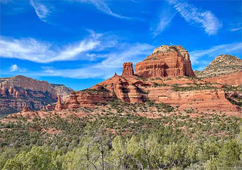
Tour the magical red rocks of Sedona and visit Native American ruins during this Sedona Tour from Phoenix & Scottsdale. Highlights include spending the day surrounded by the stunning red rock landscapes of Sedona, see ancient Sinagua cliff dwellings at Montezuma Castle National Monument … More
Tour the magical red rocks of Sedona and visit Native American ruins during this Sedona Tour from Phoenix & Scottsdale. Highlights include spending the day surrounded by the stunning red rock landscapes of Sedona, see ancient Sinagua cliff dwellings at Montezuma Castle National Monument. Visit Bell Rock, Airport Mesa and Chapel of the Holy Cross. Options available for shopping, galleries, restaurants in Uptown or T'laquapaque and off-road Jeep tours or guided hike add-ons.
Leaves from Phoenix/Scottsdale | Professionally Guided | Family-Friendly | Private Tours Available | Custom Options Available | All Fees Included
Grand Canyon South Rim Tour from Phoenix & Scottsdale
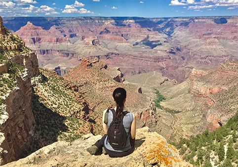
Marvel at the beauty that is the South Rim during this Grand Canyon Tour from Phoenix & Scottsdale. Highlights include a day trip to visit Arizona’s breathtaking Grand Canyon National Park, a scenic drive with views of the San Francisco Peaks in Flagstaff, and several viewpoints at the … More
Marvel at the beauty that is the South Rim during this Grand Canyon Tour from Phoenix & Scottsdale. Highlights include a day trip to visit Arizona’s breathtaking Grand Canyon National Park, a scenic drive with views of the San Francisco Peaks in Flagstaff, and several viewpoints at the spectacular Grand Canyon South Rim. Optional "Colors & Canyons" 45-minute helicopter upgrade available.
Professionally Guided | Hotel Pickup | All Fees Included | Family-Friendly | Private Tours Available | Custom Options Available | Leaves from Phoenix/Scottsdale
Small Group Antelope Canyon Day Trip from Phoenix
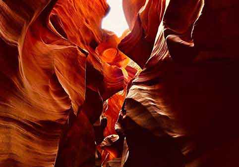
Benefit from a full-day tour from Phoenix to Antelope Canyon to see more of Arizona’s natural beauty. Take in Route 66, Flagstaff, the San Francisco Peaks, Lake Powell, and a Navajo Trading Post on the way to Antelope Canyon. Then explore Antelope Canyon with a Navajo guide, and see the … More
Benefit from a full-day tour from Phoenix to Antelope Canyon to see more of Arizona’s natural beauty. Take in Route 66, Flagstaff, the San Francisco Peaks, Lake Powell, and a Navajo Trading Post on the way to Antelope Canyon. Then explore Antelope Canyon with a Navajo guide, and see the Colorado River from the Horseshoe Bend Overlook. Meals and hotel pickup and drop-off are included. Choose between a small-group or private tour.
Leaves from Phoenix/Scottsdale | Professionally Guided | Lunch Included | Educational | Hotel Pickup | Family-Friendly | Private Tours Available | Custom Options Available | All Fees Included
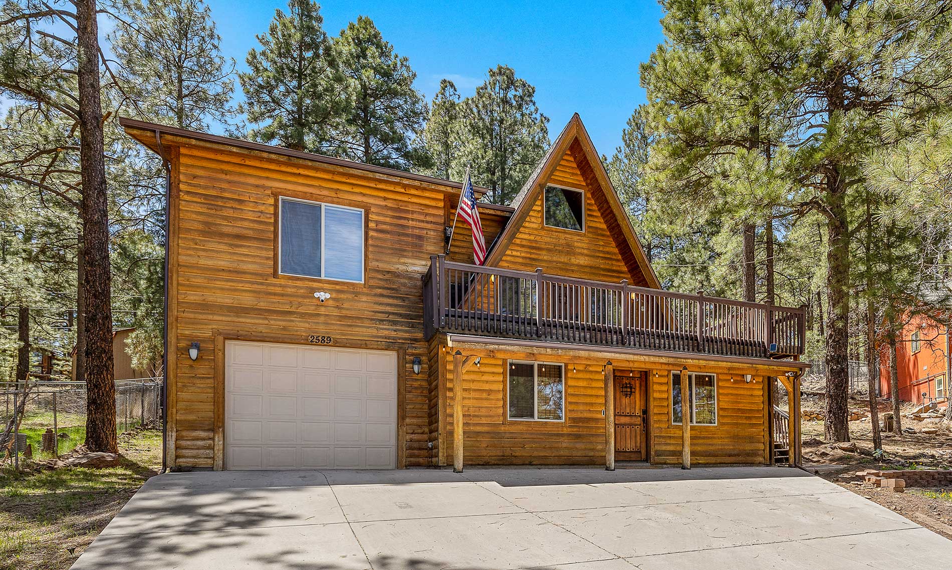
Nakai Trail 4-BR A-Frame - Flagstaff
This house is newly listed for rental and is nestled in the Kachina Pines with breathtaking views of the surrounding forest & immediate access to trails. The house is newly updated including the kitchen & all amenities you might need, including alexa music throughout.
This is th … More
This house is newly listed for rental and is nestled in the Kachina Pines with breathtaking views of the surrounding forest & immediate access to trails. The house is newly updated including the kitchen & all amenities you might need, including alexa music throughout.
This is the perfect base for all your adventures including the Grand Canyon, skiing Snowbowl, hiking, exploring Sedona, and visiting Flagstaff/NAU. Its 4 bedrooms, 2 baths comfortably accommodate 12.
Flagstaff Hotels | Family-Friendly | Kitchenette or Full Kitchen | Games Provided | Fireplace(s) | Pet-Friendly

Lake Powell Taxi Services

Bearizona Wildlife Park
Self-Guided | Family-Friendly | Things to Do in Williams
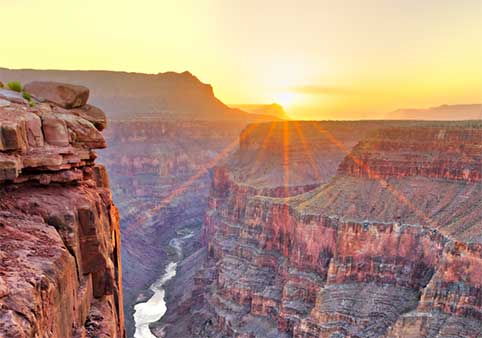
Grand Canyon South Rim Self-Guided Driving Tour
Self-Guided | Family-Friendly | Additional Tour Options Available
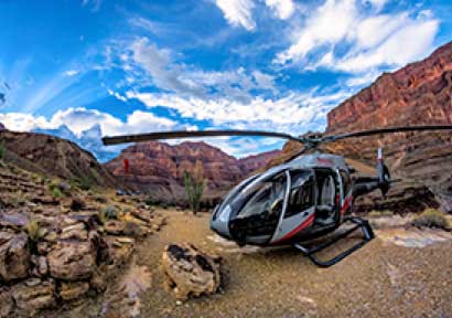
Maverick Helicopter Tours from Las Vegas
Family-Friendly | Reserve Now Pay Later | Additional Tour Options Available | Leaves from Las Vegas | Optional Ground Tour | Professionally Guided
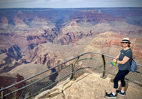
Grand Canyon South Rim Tour from Phoenix & Scottsdale with Sedona
Leaves from Phoenix/Scottsdale | Family-Friendly | Hotel Pickup | Professionally Guided | All Fees Included

Maverick Helicopter Tours from GCNP Airport
Canyon Spirit is a Grand Canyon helicopter tour that departs from the South Rim, taking you over the beautiful Kaibab National Forest, home to the world's largest stand of Ponderosa pines. Upon reaching the edge, the rim drops away as the magnificent Grand Canyon comes into full view.… More
Canyon Spirit is a Grand Canyon helicopter tour that departs from the South Rim, taking you over the beautiful Kaibab National Forest, home to the world's largest stand of Ponderosa pines. Upon reaching the edge, the rim drops away as the magnificent Grand Canyon comes into full view.
Leaves from Tusayan | Family-Friendly | Professionally Guided
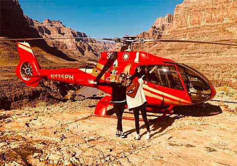
Papillon Helicopters
Leaves from Las Vegas | Leaves from Tusayan | Multi-Attraction Tours | Family-Friendly
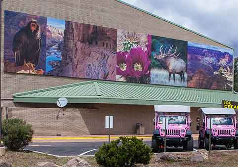
IMAX Grand Canyon National Geographic Visitor Center
Family-Friendly
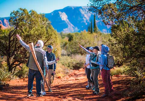
Sedona Red Rock Tours
Multi-Day Tours | Family-Friendly | Professionally Guided | Hotel Pickup | Multi-Attraction Tours | Private Tours Available | Custom Options Available | ADA Accessible
Best Grand Canyon Day Tour
Private Tours Available | Shuttle Services Provided | Lunch Included | Multi-Attraction Tours | Additional Tour Options Available | Professionally Guided | Family-Friendly

Pink Jeep Adventure Tours
Family-Friendly

Grand Canyon UTV Tours
Leaves from Williams | Things to Do in Williams | Family-Friendly | Professionally Guided | Things to Do in Williams
Roam America Horseshoe Bend
Pet-Friendly | Laundry | Outdoor Fireplace/Pit | Outdoor Pool | On-site Restaurant | General Store | UTV Friendly | Access to Trails
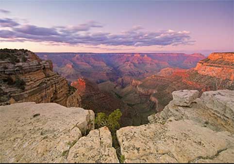
Helicopter Tour of the North Canyon with Optional Hummer Excursion
The Grand Canyon is undoubtedly beautiful, but this helicopter tour of the iconic canyon elevates the views to a whole new level. Soar over Kaibab National Forest and into the Dragon Corridor—the deepest and widest part of the canyon. Upgrade your tour to include a Hummer tour of other … More
The Grand Canyon is undoubtedly beautiful, but this helicopter tour of the iconic canyon elevates the views to a whole new level. Soar over Kaibab National Forest and into the Dragon Corridor—the deepest and widest part of the canyon. Upgrade your tour to include a Hummer tour of other essential Grand Canyon sights after the ride; your car is waiting for you for a seamless transition.
- Grand Canyon North Rim helicopter tour
- Bring your camera for unbeatable views of the canyon
- A memorable travel experience great for first-time and return visitors alike
- Upgrade to include a Hummer tour after the helicopter ride
Optional Ground Tour | Family-Friendly
Arizona Private Tours
Family-Friendly | Custom Options Available | Leaves from Flagstaff | Multi-Attraction Tours
Western River Expeditions
Professionally Guided | Meals Included | Multi-Day Tours | Family-Friendly | Leaves from Las Vegas
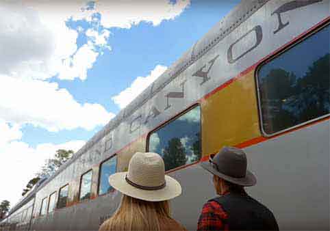
Grand Canyon Railway
Family-Friendly | ADA Accessible | Things to Do in Williams | Leaves from Williams
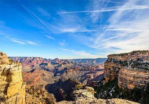
From Phoenix-Small-Group Full Day Tour in Sedona and Grand Canyon
Explore one of the Seven Wonders of the World with a small group and your expert tour guide. You will see all the most scenic lookout points of this natural wonder. This is a small group tour to ensure the most personalized experience.
Visit two of Arizona’s most impressive natur … More
Explore one of the Seven Wonders of the World with a small group and your expert tour guide. You will see all the most scenic lookout points of this natural wonder. This is a small group tour to ensure the most personalized experience.
Visit two of Arizona’s most impressive natural wonders in one day—the mighty Grand Canyon and Bell Rock in Sedona. On this full-day tour, enjoy a personalized experience with small group size and free time to explore both sites. In Sedona, visit Bell Rock Vista, the Chapel of the Holy Cross, and the uptown shopping area, then continue to the Grand Canyon South Rim and take in the views from Grand Canyon Village and Yavapai Point. Magnificent views of the Grand Canyon and Bell Rock Up to three hours in the Grand Canyon National Park Hassle-free hotel pickup and drop off.
This tour will have a minimum of 1 and a maximum of 5 travelers.
Family-Friendly | Professionally Guided | Hotel Pickup
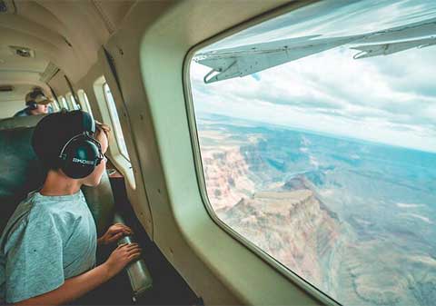
Signature Tour - Grand Canyon South Rim with Ground Tour from Phoenix
Marvel at the Grand Canyon's vast expanse and some of the American Southwest's most awe-inspiring terrain during a scenic flight from Phoenix. Your pilot flies at the perfect altitude to clearly view the natural beauty of Arizona, including Tonto National Forest, San Francisco Peaks, Mo … More
Marvel at the Grand Canyon's vast expanse and some of the American Southwest's most awe-inspiring terrain during a scenic flight from Phoenix. Your pilot flies at the perfect altitude to clearly view the natural beauty of Arizona, including Tonto National Forest, San Francisco Peaks, Montezuma Well, and the Red Rocks of Sedona. Experience this majestic wilderness from the ground and air on a day-long tour that includes a stop in the National Park and the historic village.
Family-Friendly | Multi-Attraction Tours | Professionally Guided | Educational | Leaves from Phoenix/Scottsdale
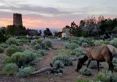
Custom Grand Canyon Day Trip from Phoenix
Leaves from Phoenix/Scottsdale | Family-Friendly | Hotel Pickup | All Fees Included | Professionally Guided
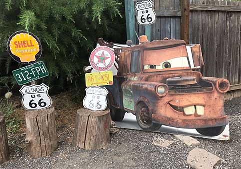
Fun 66 Tours
Leaves from Williams | Things to Do in Williams | Multi-Attraction Tours | Family-Friendly | Professionally Guided | Educational
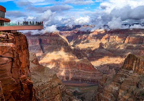
Grand Canyon West Rim Bus or Private Tour with Hoover Dam
Private Tours Available | Professionally Guided | Hotel Pickup | Breakfast Included | Lunch Included | Leaves from Las Vegas | Family-Friendly
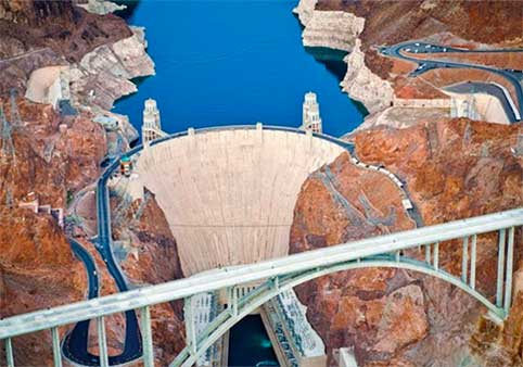
Small-Group 3 Hour Hoover Dam Mini Tour With Las Vegas Strip Pickup
Visit Hoover Dam on a Las Vegas "mini" tour that doesn't take up a whole day so you don't waste your precious vacation time. Or, perhaps you have a late flight and want to do something fun after hotel check-out. After departing the Strip, head to the dam, where you visit lookout points … More
Visit Hoover Dam on a Las Vegas "mini" tour that doesn't take up a whole day so you don't waste your precious vacation time. Or, perhaps you have a late flight and want to do something fun after hotel check-out. After departing the Strip, head to the dam, where you visit lookout points for views and photo ops.
- Visit Hoover Dam on a tour designed for those short on time
- Round-trip transport provided from the Las Vegas Strip
- Travel by small-group vehicle
- See the dam, Colorado River, and Lake Mead from different angles
Family-Friendly | Leaves from Las Vegas
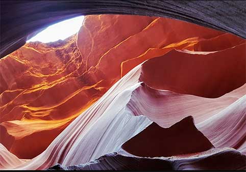
Grand Canyon South Rim, Antelope Canyon, Horseshoe Bend Day Tour from Las Vegas
This one-day tour covers 3 amazing landscapes in the Grand Circle in just one day based from Las Vegas. In addition to the well-known Grand Canyon, you will visit Antelope Canyon and Horseshoe Bend, where you can witness the stunning features that have been sculpted in this expansive sc … More
This one-day tour covers 3 amazing landscapes in the Grand Circle in just one day based from Las Vegas. In addition to the well-known Grand Canyon, you will visit Antelope Canyon and Horseshoe Bend, where you can witness the stunning features that have been sculpted in this expansive scenery.
On the way back to Las Vegas, we will have a short break in Seligman, a small town on Route 66. This is a nice little stopover where you can enjoy the old American atmosphere.
Leaves from Las Vegas | Family-Friendly | Multi-Attraction Tours
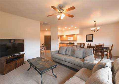
Canyon Plaza Premier Studio and Apartments
Pet-Friendly | Kitchenette or Full Kitchen | Family-Friendly | Swimming Pool | On-site Restaurant
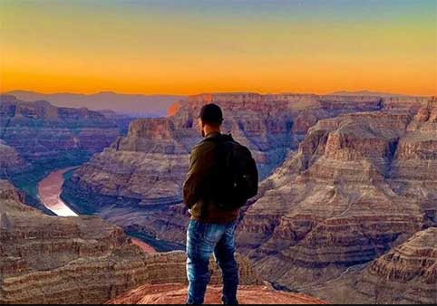
Grand Canyon West Rim Bus Tour & Hoover Dam Photo Stop with optional Skywalk
Leaves from Las Vegas | Breakfast Included | Lunch Included | Multi-Attraction Tours
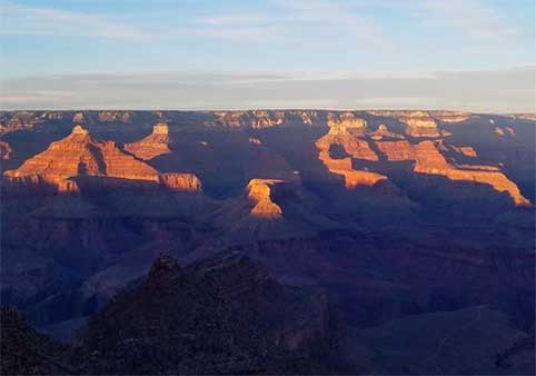
Grand Canyon and Sedona Day Adventure from Scottsdale or Phoenix
Make the most of your time in Arizona with a full-day tour that visits both the Grand Canyon and Sedona. Depart early from Scottsdale or Phoenix to explore the south rim of the Grand Canyon, taking in two prime viewpoints and strolling along the rim, then eating lunch. Continue to Sedon … More
Make the most of your time in Arizona with a full-day tour that visits both the Grand Canyon and Sedona. Depart early from Scottsdale or Phoenix to explore the south rim of the Grand Canyon, taking in two prime viewpoints and strolling along the rim, then eating lunch. Continue to Sedona where you check out the uptown district, and get photo ops at red rock sites.
Leaves from Phoenix/Scottsdale | Custom Options Available | Hotel Pickup | All Fees Included | Professionally Guided | Lunch Included | Family-Friendly | Educational
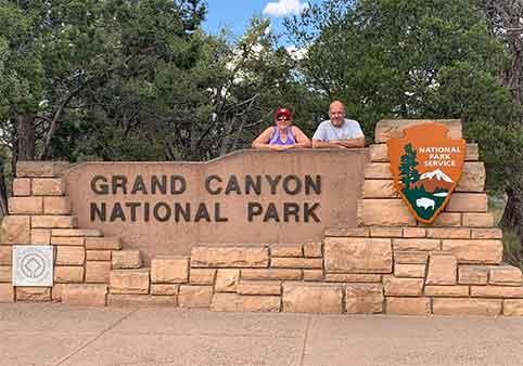
Grand Canyon Day Tour with Sedona and Oak Creek Canyon
Leaves from Phoenix/Scottsdale | Family-Friendly | Hotel Pickup
Grand Canyon National Park Bus Tour from Las Vegas
Explore the natural side of Arizona with a day trip to the Grand Canyon National Park South Rim on our luxury bus tour. Your professional bus driver is trained to provide you with interesting facts about the history, flora, and fauna on one of the great wonders of the modern world.
… MoreExplore the natural side of Arizona with a day trip to the Grand Canyon National Park South Rim on our luxury bus tour. Your professional bus driver is trained to provide you with interesting facts about the history, flora, and fauna on one of the great wonders of the modern world.
Once you arrive at the South Rim, enjoy stops along the rim such as Mather Point and Bright Angel Lodge. Explore popular attractions in the Grand Canyon National Park such as El Tovar, Hopi House, Kolb Photo Studio, and the Bright Angel Trail and make memories of a lifetime!
Family-Friendly | Leaves from Las Vegas
Local Business Spotlight